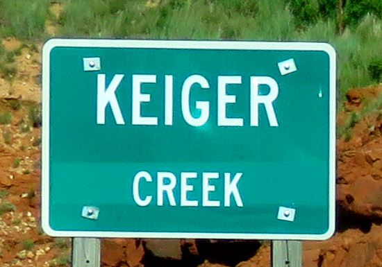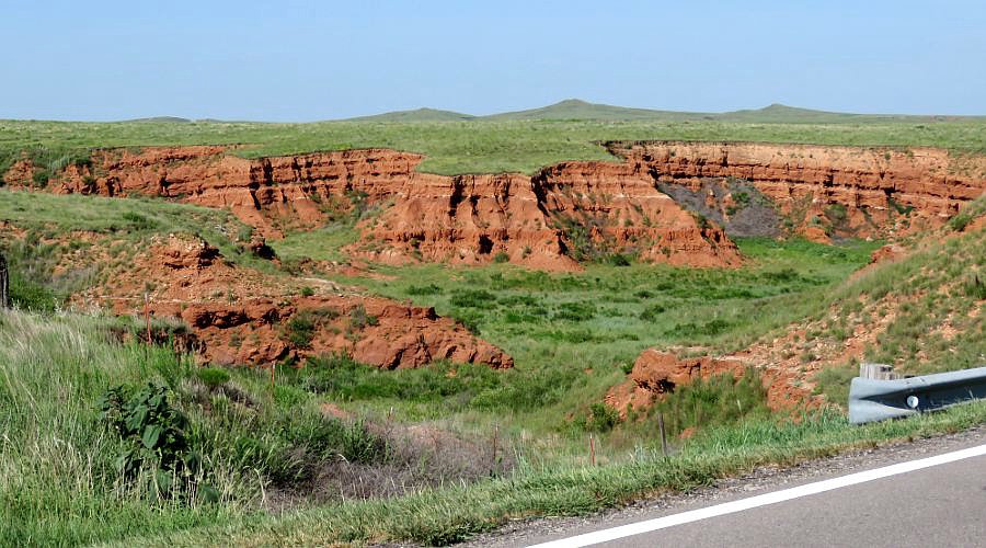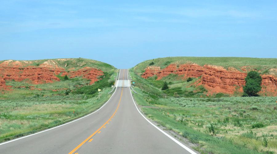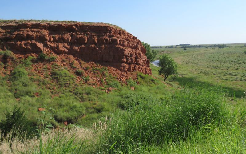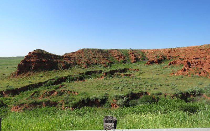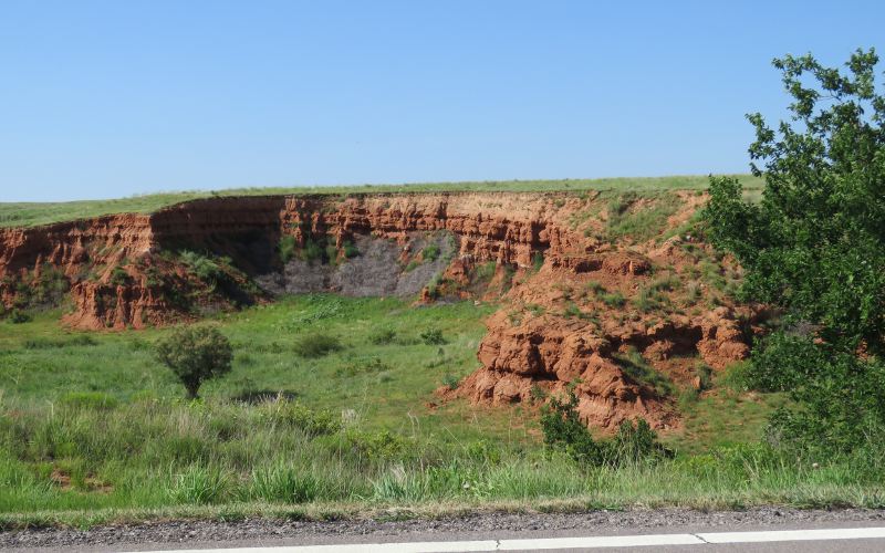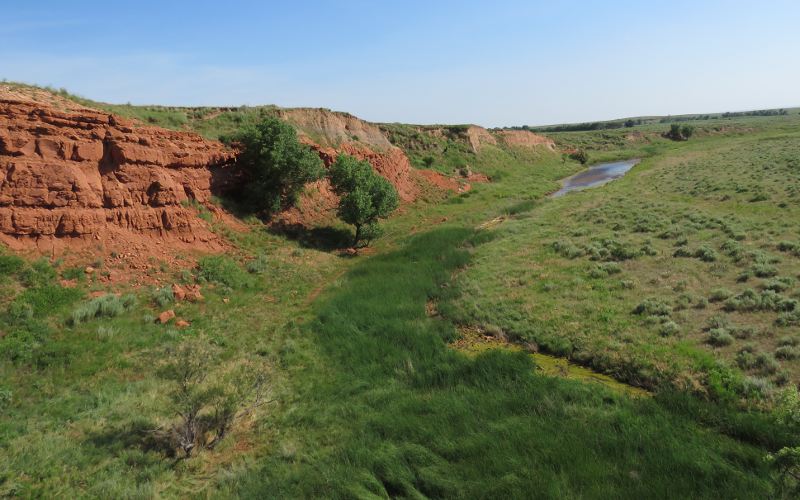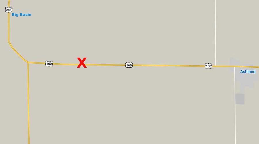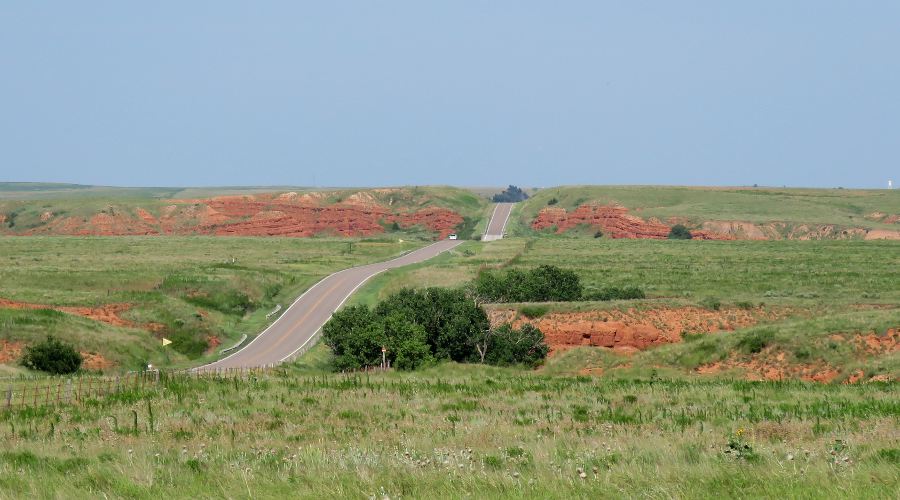
Keiger Creek - Ashland, Kansas Keiger Creek is an intermittent stream, which flows from the 1,818 acre Big Basin Prairie Preserve Wildlife Area, and passes under US-160, about 9 miles west of Ashland, Kansas. The red stone bluffs along the creek and along ravines a half mile farther west are a striking contrast to the surrounding High Plains. The stone bluffs along Keiger Creek are more characteristic of the Gypsum or Red Hills which are predominantly farther east in south central Kansas. Although these bright red stone faces jump right out at travelers driving east on US-160, it would be easy for an inattentive westbound driver to miss them entirely.
copyright 2012-2019 by Keith Stokes |