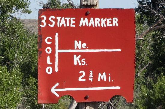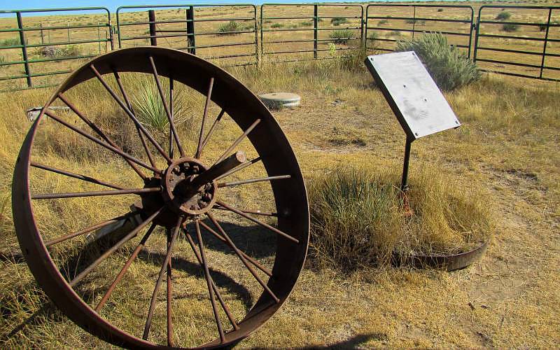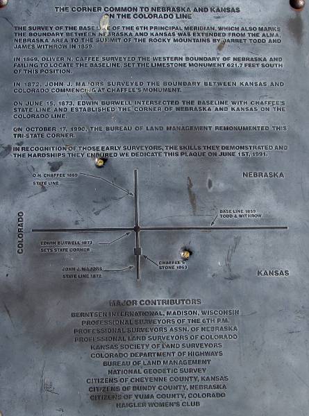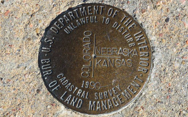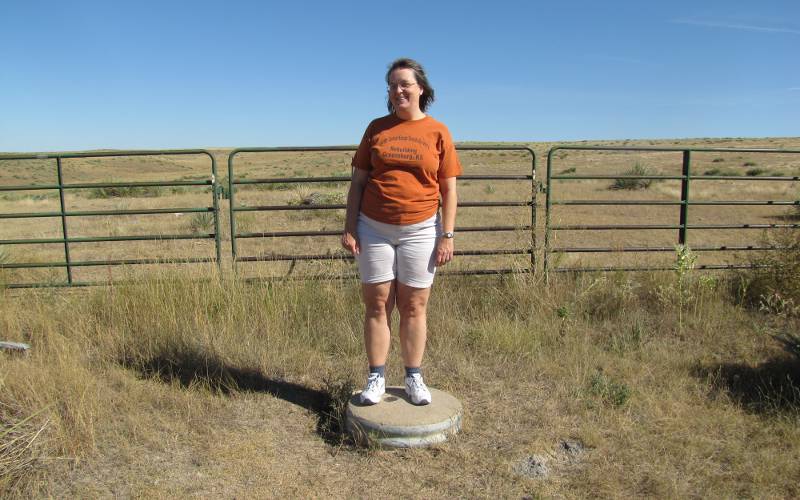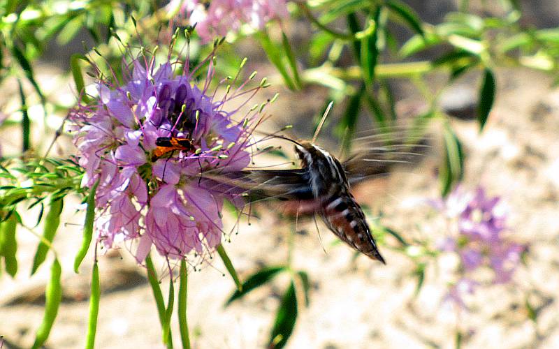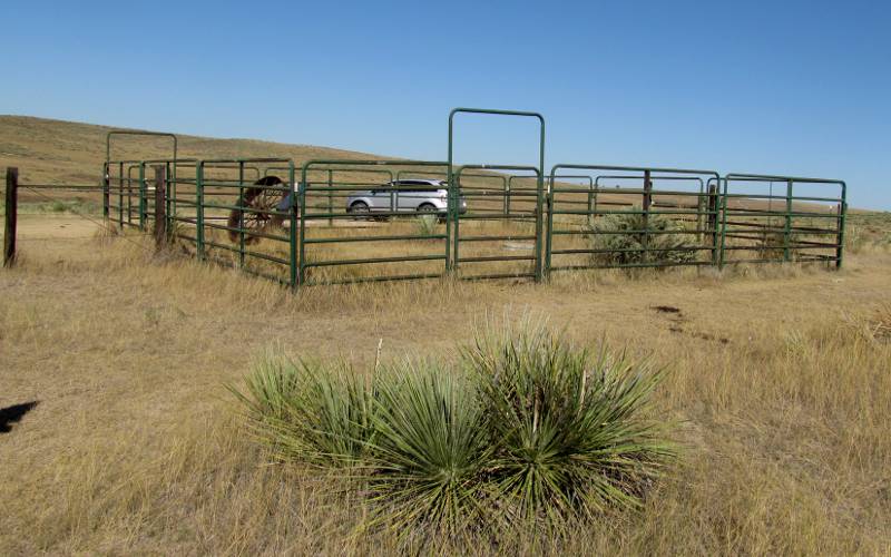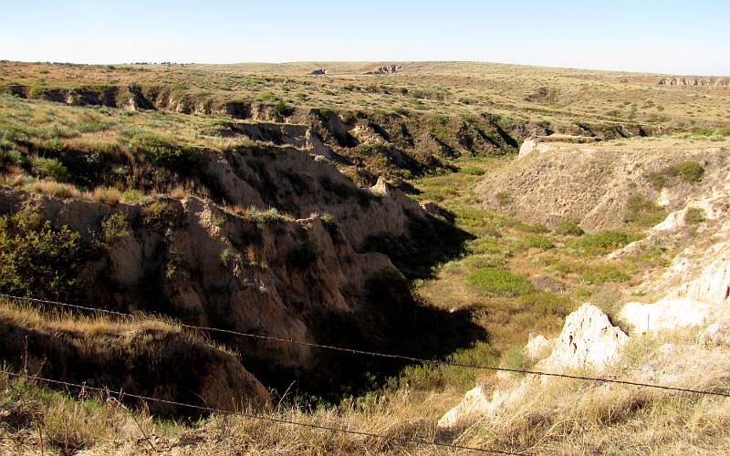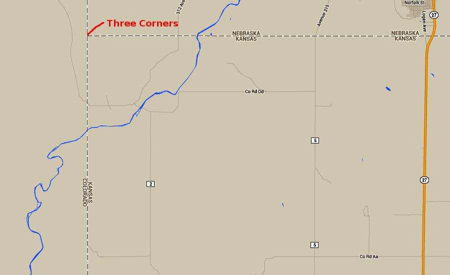
Three Corners Marker - Tristate Point A Tristate Point is a location where the boundaries of three states intersect. There are 38 Tristate Points in the United States and four of them are at the corners of the State of Kansas. Three Corners, 20 miles northwest of St. Francis, Kansas, is the location of the northwest Kansas Tristate Point. The exact location of the Kansas, Colorado, Nebraska Tristate Point was uncertain for many years, but was firmly established in 1990. The brass plate at the top of this page is 4' above that survey marker. The old mark was off by just inches. There is relatively little to see related to the Tristate Point, but the Arikaree Breaks are beautiful. In the Spring there is a forest of yucca blooms. In the summer there are many wild flowers and there may be cattle. There is also a prairie dog town, though we did not see any prairie dogs during our visit. To reach Three Corners from St. Francis, first drive to Devil's Gap by driving north of St. Francis on K-27 to Road W, approximately 13 miles north of the K-27 and US-36 Junction, then follow the hand made signs. From Devils Gap, continue north on County Road 3, turning west into private land at the red marker. Continue on the private road for 2 3/4 miles in a northwest direction following the signs. This will actually take you into Colorado for the last part of the route. Please treat the land gently so the owner will continue to permit the public to visit this Tristate Point.
copyright 2011-2023 by Keith Stokes |