|
The Smoky Hills of
western Kansas contain outcroppings of several types of stone from the
Cretaceous Period. The region is mostly relatively flat, making the scattered
locations where Niobrara Chalk and Dakota Sandstone are exposed more dramatic.
Most of the interesting features lie within a few miles of the Smoky Hill
River.
Another deposit from
the Cretaceous, Greenhorn Limestone, has provided the building material
used to create many of the region's most interesting buildings, including
the Cathedral of the Plains and the
Garden
of Eden. The limestone is also used to make the post rocks that help
give the region much of its character.
The Dakota Sandstone
is the oldest. It was formed from sediment from rivers emptying into the
seas that covered western Kansas. The younger Greenhorn Limestone and youngest
(70-80 million years) Niobrara Chalk were formed by sediment in deeper
portions of the sea. Both have given up many interesting fossils, but the
Chalk made of the shells of uncounted trillions of single cell golden brown
algae provide some of the world's most spectacular fossils.
Learn more about the
geology of Kansas at the United
States Geological Survey and from Kansas
Geological Survey.
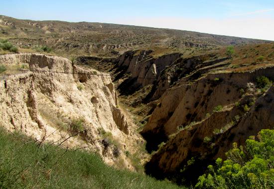
| The Arikaree
Breaks are located in the extreme northwestern corner of the state
of Kansas. The breaks, with its deep ravines and gullies, is in marked
contrast to the plains generally associated with the area. The breaks were
formed by wind deposited sand, silt and clay particles, called loess. |
 |
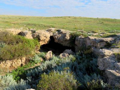
| Battle Canyon in
Scott County, Kansas was the site of the Battle of Punished Woman's
Fork, the last encounter between Native Americans and United States
Troops in the State of Kansas. The Northern Cheyenne under the leadership
of Chief Dull Knife and Little Wolf were trying to return to their former
home in the north after escaping from a reservation at Fort Reno, Oklahoma.
This 30 acre site has been designated a State and National
Historic Site. It is maintained by the Scott County Historical Society. |
 |
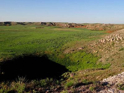
| 1,818 acre Big
Basin Prairie Preserve Wildlife Area is owned and managed by the
Kansas Department of Wildlife and Parks. The Big Basin which is named is
a mile wide sinkhole of "sink" which is more than 100's feet deep. Big
Basin and other nearby sinks were formed thousands of years ago by the
dissolving and collapse of massive gypsum and salt formations which were
several hundred feet below the surface. |
 |
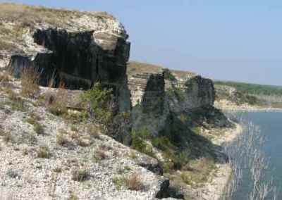
| The Cedar
Bluffs are the most striking feature of Cedar Bluff State Park
south of Ogallah, Kansas. The 100 feet tall limestone cliffs on
the south side of Cedar Bluff Reservoir are stunning, particularly near
sunrise or sunset. |
 |
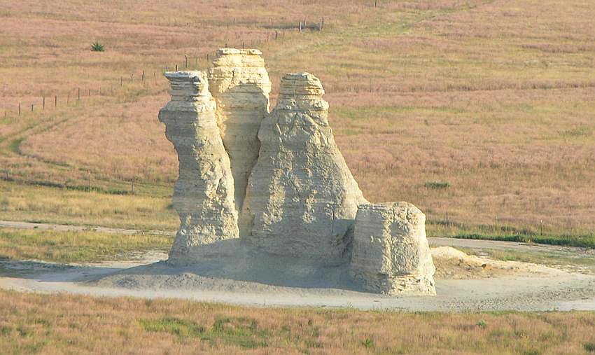
| Castle Rock & Badlands
is about 12 miles south of Quinter and Collyer, Kansas. The
Kansas countryside gets much wilder as soon as you get away from I-70.
This interesting chalk formation is on private range land. The two rut
path leading back from the dirt road is quite rough, portions of the track
having up to 18 inch deep ruts. It takes some careful driving, but you
can do it in a car, but a SUV or light truck works much better. |
 |
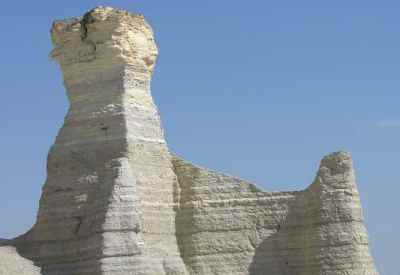
| The Chalk
Pyramids or Monument Rocks are names for the same group of rock
outcroppings, between Oakley and Scott City in western Kansas.
The 70 feet tall sedimentary formations of Niobrara Chalk were created
80 million years ago when this area was part of a vast inland sea. They
are on private land, but open to the courteous public. |
 |
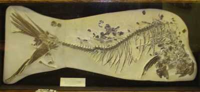
| The free El
Quartelejo Museum in Scott City, Kansas has exhibits about
the Monument Rocks and the area's fossil
history. Children can "dig" for fossils in a sandbox |
 |
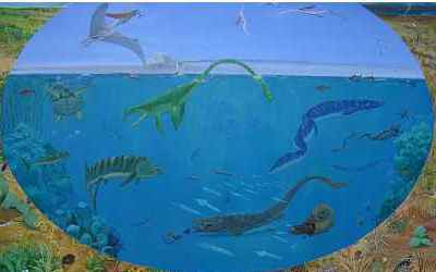
| The Fick
Museum in
Oakley, Kansas shares a building with the community
library. The museum is free (donations) and has a number of interesting
large fossils from the area, many old tools, mineral specimens and folk
art. |
 |
| The 40th Parallel
Marker aka Cast Iron Marker north of White Cloud, Kansas
at the Nebraska state line is the point of beginning of the public land
surveys of the Sixth Principal Meridian. The Sixth Principal Meridian Initial
Point was located 108 miles west of this marker in 1856. |

|
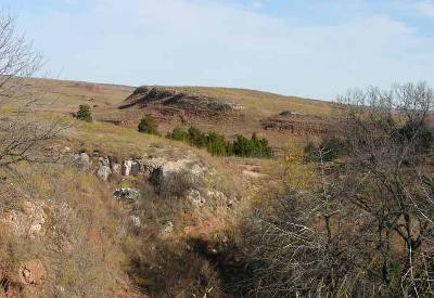
| The Gypsum Hills
(also known as the Gyp Hills) are a region of rolling hills, mesas, canyons
and buttes in central Kansas, just north of the Oklahoma border. The area
has many red cedar trees and the ground contains iron oxide or rust, hence
one of the area's other names, the Red Hills. |
 |
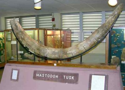
| The Johnston
Geology Museum at Emporia State University in Emporia, Kansas
is
free, and open whenever the school is in session. The museum contains bout
50 cases of geology specimens, fossil displays, and Native American artifacts
that are well laid out and have interesting and informative descriptions. |
 |
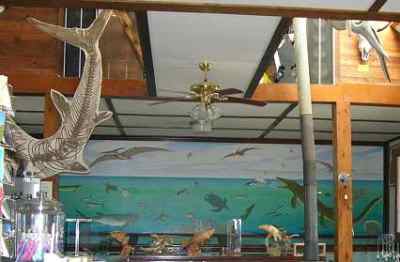
| Located in a 1916
limestone church, the Keystone Gallery
between Scott City and Oakley, Kansas is a combination of
art gallery, fossil museum and souvenir shop. The Bonner family has been
fossil hunting since 1928 and used to lead the public on fossil hunting
& camping tours in a 1949 Chevy Suburban. |
 |
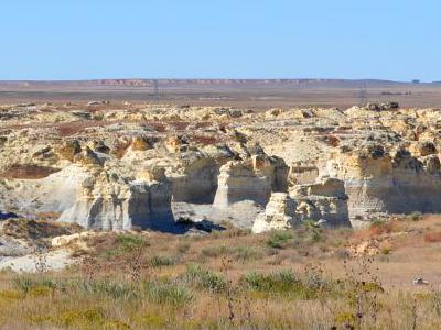
| The highly anticipated Little
Jerusalem Badlands State Park opened on October 12, 2019. It is
a mile long jumble of 70 feet tall sedimentary formations of Niobrara Chalk
which were created by the erosion of the sea bed which formed during the
Cretaceous Period, 80 million years ago. Kansas' newest state park is located
midway between Oakley and Scott City, Kansas, just a few miles west of
Monument
Rocks. |
 |
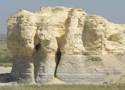
| Like the better known
and larger Chalk Pyramids (or Monument
Rocks) the Little Pyramids north
of Scott City, Kansas are sedimentary formations of Niobrara Chalk. |
 |
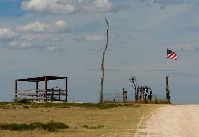
| At 4,039 feet above sea level, Mount
Sunflower is the highest point in Kansas. It is located at the
far west side of Kansas on the Harold Family Ranch in Wallace County. Mike
and Mae Marie (Harold) Jones invite visitors to enjoy Mount Sunflower,
but ask that you treat Mount Sunflower as you would treat your own property. |
 |
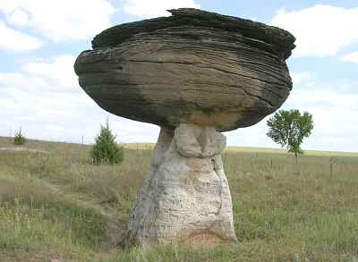
| Mushroom
Rock State Park near Marquette, Kansas has Dakota sandstone
concretions much like Rock City, but here most
are not nearly as exposed. The resulting combination of rocks sometimes
have a mushroom shape. The unusual shapes caught the imaginations of the
Native Americans and pioneers, some of whom have left graffiti in the softer
sandstone. |
 |
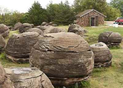
| Rock
City near Minneapolis, Kansas is a tiny park which contains
about 200 huge Dakota sandstone concretions. The spheres are up to 27 feet
in diameter and you are encouraged to climb on them and do pretty much
whatever you want. They claim that there is no place else in the world
with so many huge concretions. |
 |
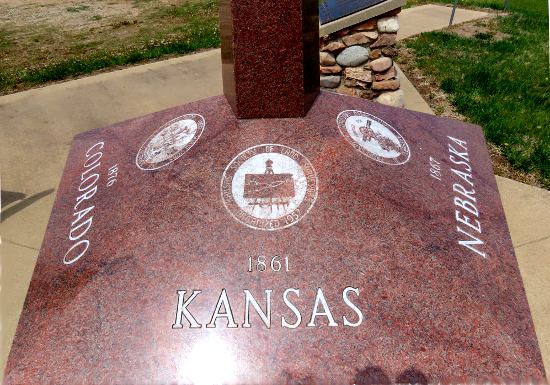
| The Sixth Principal
Meridian Initial Point near Mahaska, Kansas was established
in 1856 and was the initial point use to locate all land surveys in territories
of Kansas & Nebraska. In addition to a historic marker, there is a
five sided monument listing the five states which were surveyed and a plaque
honoring some of the professional surveyors within those five states. |
|
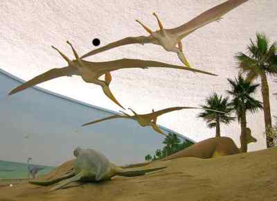
| The Sternberg
Museum of Natural History at Fort Hays State University in Hays,
Kansas displays a small portion of the University's 3,750,000 specimens
and recreates the Kansas of 70,000,000 years ago with life size displays. |
 |
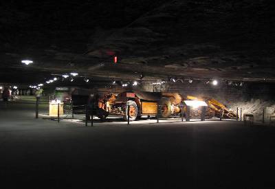
| Originally called the Kansas Underground Salt Museum,
Strataca
in Hutchinson, Kansas is unique in the western hemisphere. Although
there are some similar salt mine museums in Europe, there are none in the
Americas. And there are just 15 active salt mines in the United States. |
 |
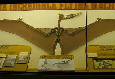
| The University
of Kansas Natural History Museum & Biodiversity Research Center
in Lawrence, Kansas offers 4 floors (1 up and 2 down) of
natural history exhibits in a hundred year old limestone building. |
 |

Map of Kansas Geologic and Archeological
Attractions
Kansas
Travel Index page Kansas Travel &
Tourism Home
Copyright 2005-2024
by Keith Stokes |
